
current · photograph · 2010
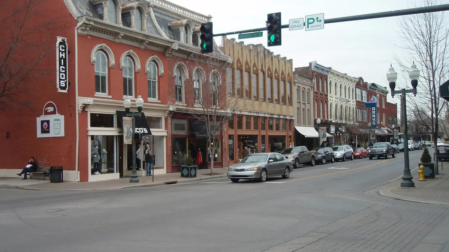
Fourth Avenue and Main Street
Historic storefronts and streetscape at Fourth Avenue and Main Street in Franklin, Tennessee
Creator/source: Ichabod · CC BY-SA 3.0
Franklin Navigator hosts optimized copies of current photographs and public-domain historical materials so local pages can connect today’s town with its past.
Historic storefronts and streetscape at Fourth Avenue and Main Street in Franklin, Tennessee
Creator/source: Ichabod · CC BY-SA 3.0
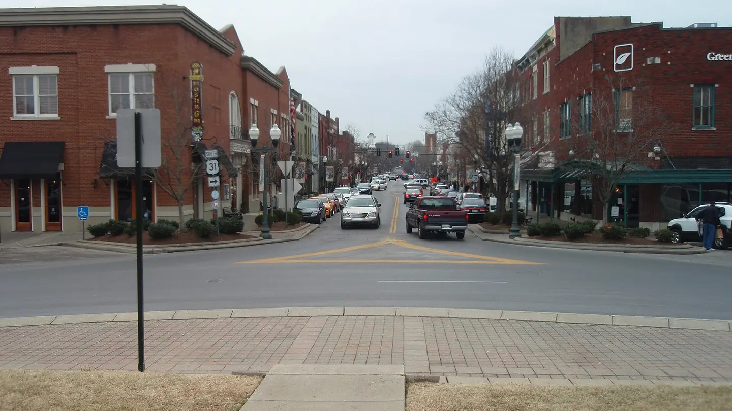
Street-level view from the historic public square in Franklin, Tennessee
Creator/source: Ichabod · CC BY-SA 3.0
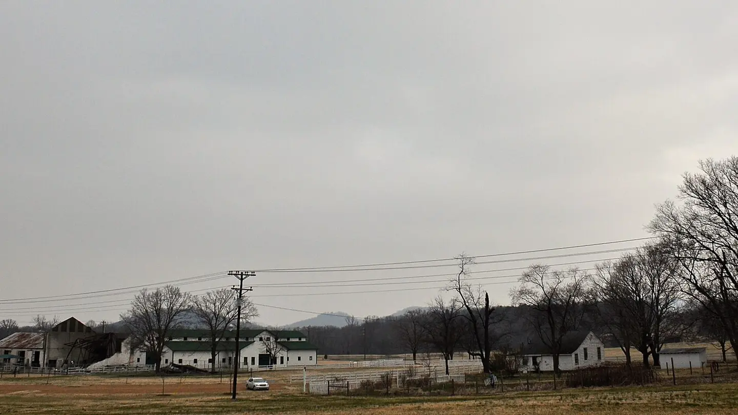
Open green fields and farm buildings at Harlinsdale Farm in Franklin, Tennessee
Creator/source: Skye Marthaler · CC BY-SA 3.0
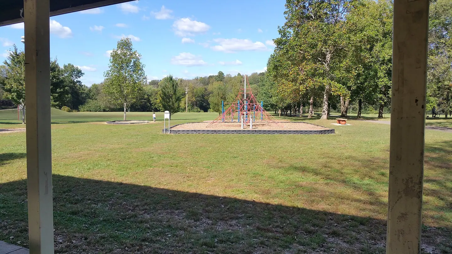
Green lawn, trees and walking area in Pinkerton Park in Franklin, Tennessee
Creator/source: Afewanoncontribs · CC BY-SA 4.0
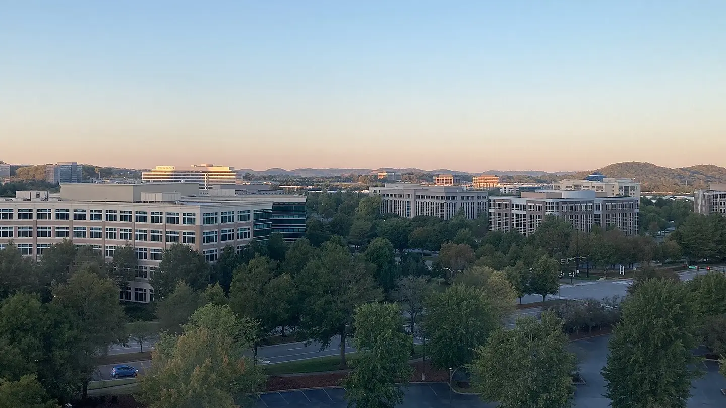
Franklin and Cool Springs skyline in early morning light
Creator/source: Dclemens1971 · CC BY-SA 4.0
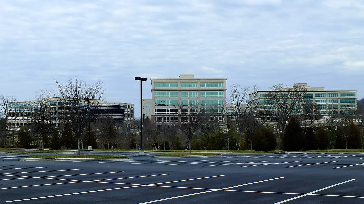
Office buildings in Franklin, Tennessee
Creator/source: mikebfotos · CC BY 2.0
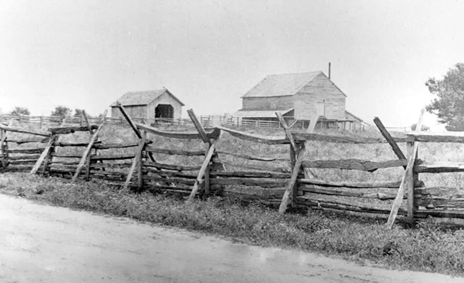
Historic photograph of the Carter House cotton gin area in Franklin, Tennessee, circa the early 1880s
Creator/source: Unknown photographer · Public domain in the United States
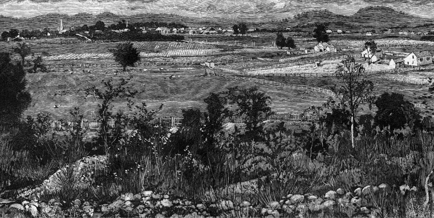
Historical engraving looking north over the Franklin landscape from Winstead Hill
Creator/source: Battles and Leaders of the Civil War · Public domain in the United States
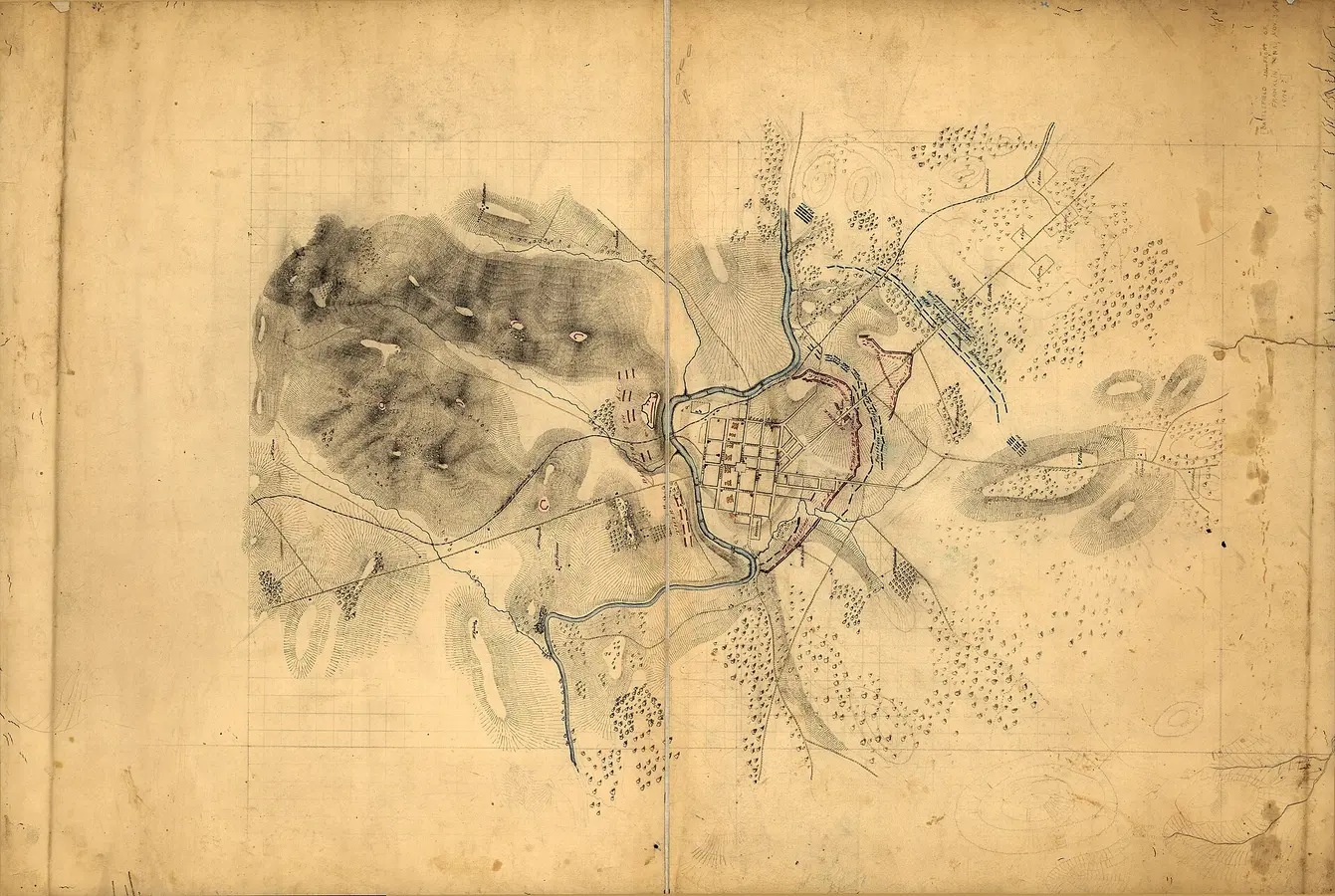
Historical 1864 field map of Franklin showing roads, buildings, landscape and military positions
Creator/source: U.S. Army Office of the Chief of Engineers / Library of Congress · Public domain


